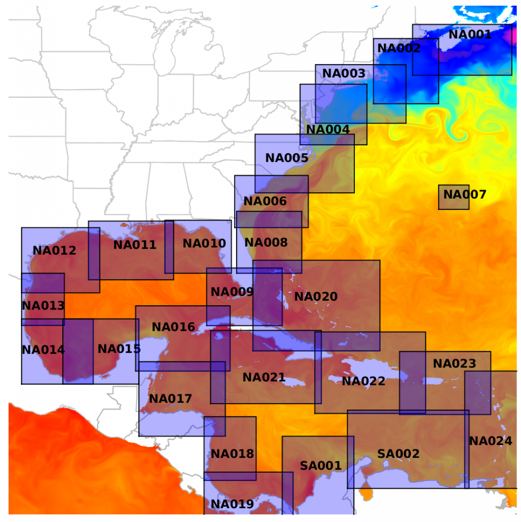
FishCast now covers the entire U.S. east coast, the Gulf of Mexico, and the Caribbean Sea! Regional maps cover major fishing grounds, tournaments, and recreational fishing areas. Each region has FishCast’s always-cloud-free sea surface temperature, chlorophyll concentration, and Optimal Fish Catch maps. Hourly maps give you fresh information throughout the day, even when you’re offshore. Download tomorrow’s maps the night before you fish, so you can take them offshore with you, without the expense of satellite communication.
Fathom Science supports fishing tournaments by offering free maps! Free regions change throughout the season, so check back often: https://fishcast.fathomscience.com/
Happy fishing!
